Pacific Cup – Google Earth Track
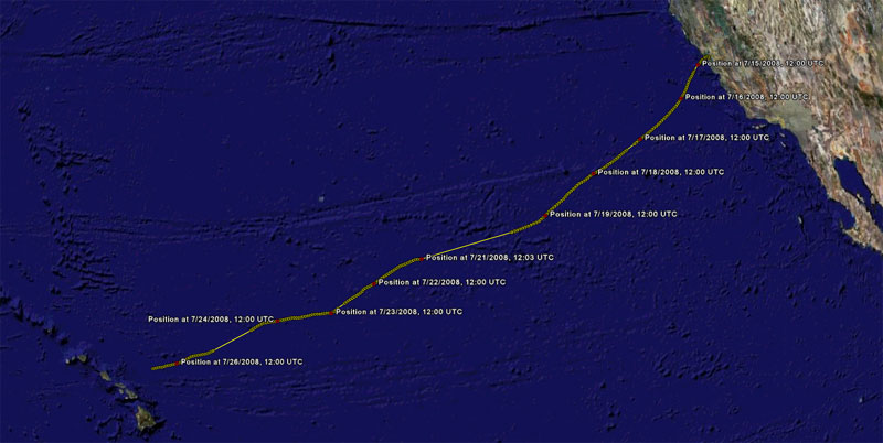
Here is a Google Earth trackfile of VALIS during the 2008 Pacific Cup:
valis-pacific-cup-2008
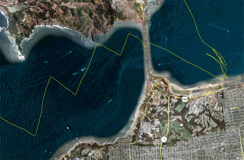
The start of the race is shown in detail, with position samples taken every few seconds. There is a “jog” as we pass under the Golden Gate Bridge that didn’t really happen — we just lost the GPS signal for a moment.
The trackfile has some unfortunate gaps (especially the last day of the race), but it does show our general track as well as some interesting maneuvers (look at the track around 7/23/2009, 12:00UTC where we shrimped the spinnaker, for example).
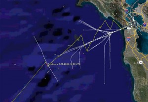
It is interesting to see the ship traffic we encountered on the way to Hawaii. Using the Google Earth controls you can turn on and off the display of all the ships we tracked with our AIS receiver:
So, what exactly happened during these mysterious gaps in the track? I vaguely remember an intense pink laser beam…


